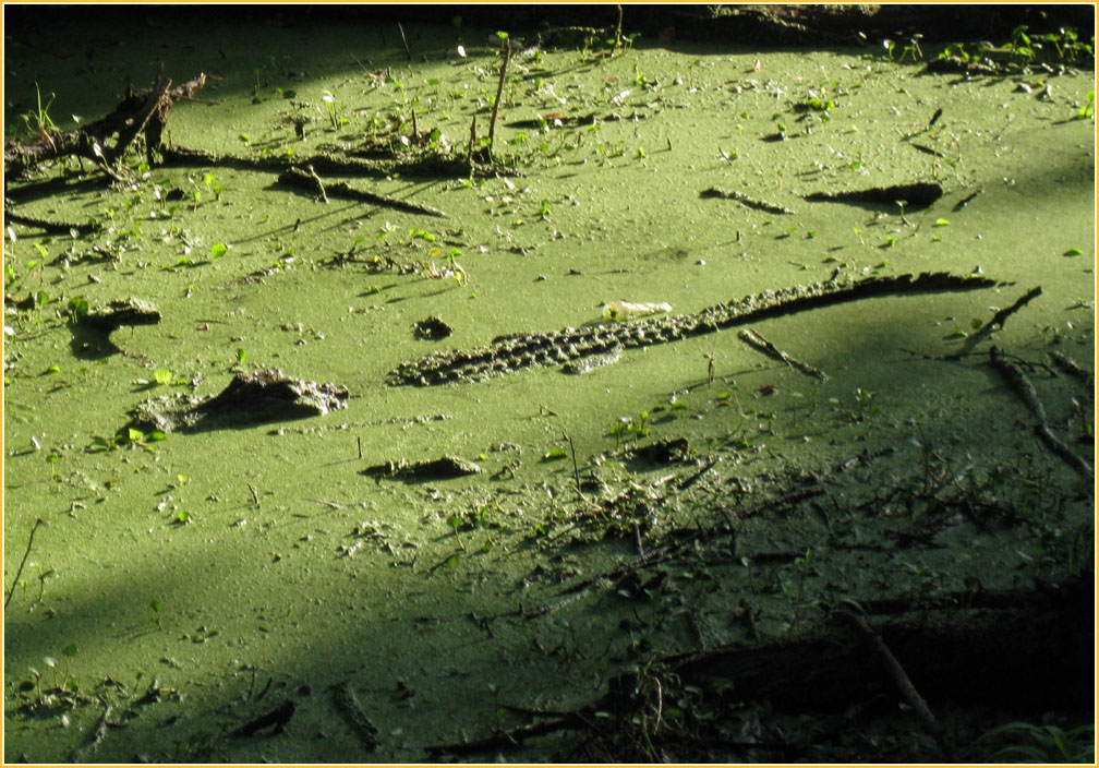
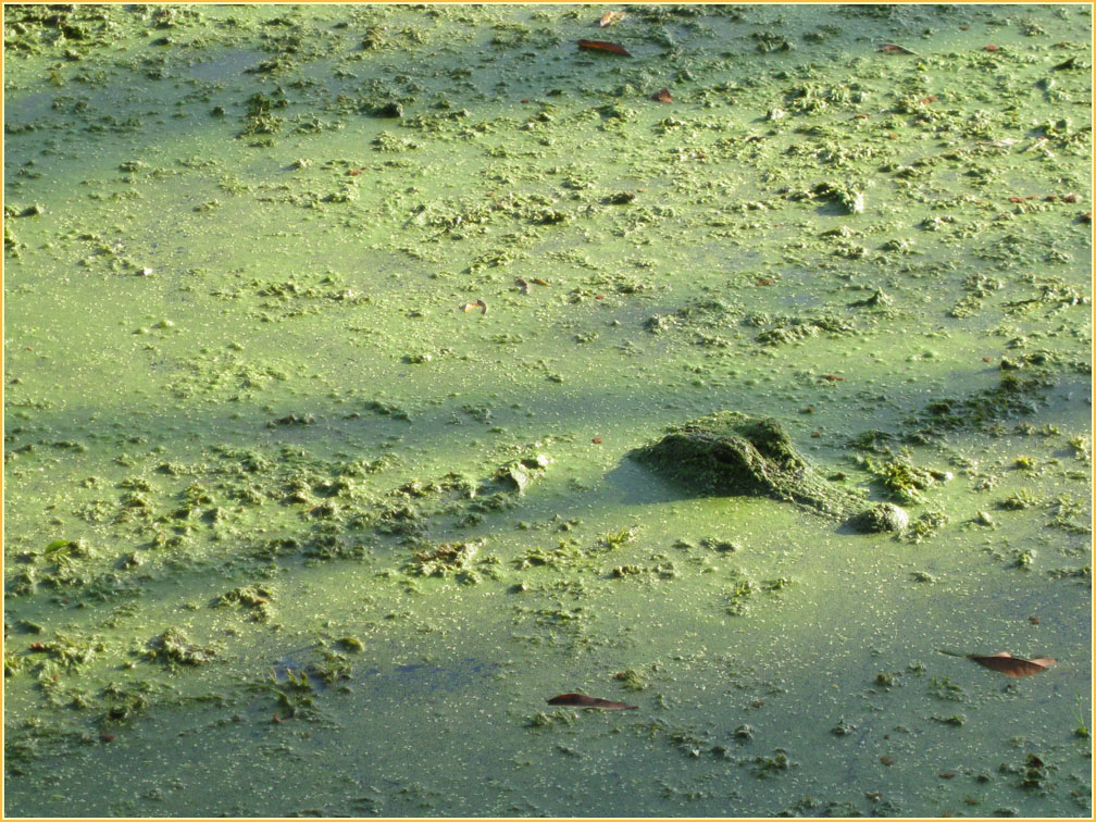
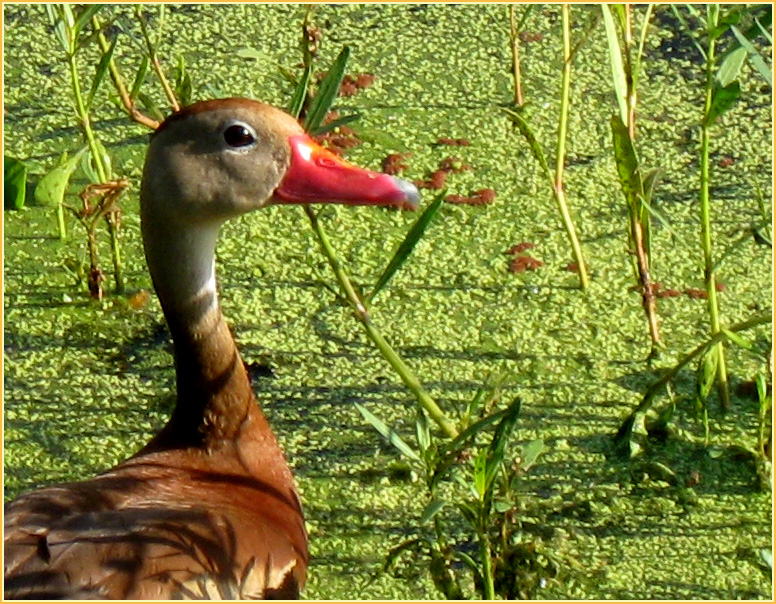
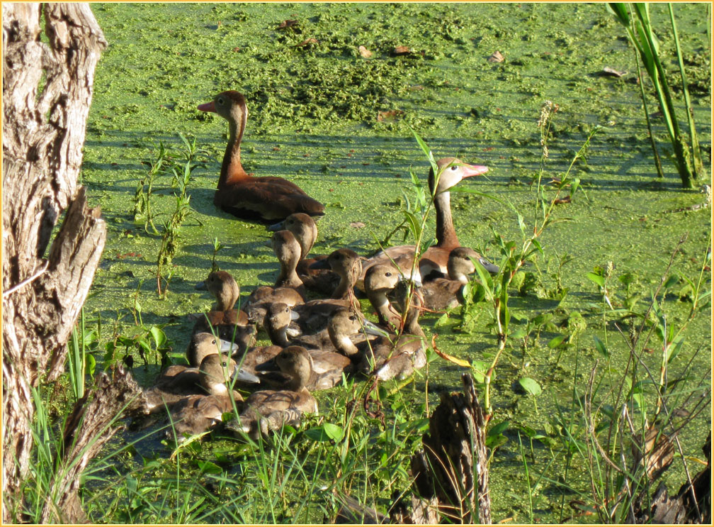
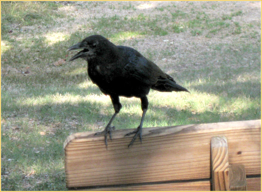
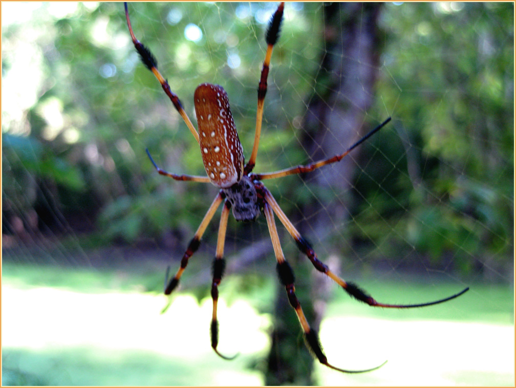
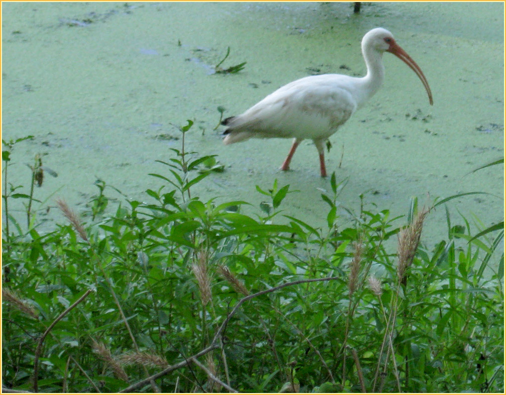
Click a picture to see a larger view. Push F-11 on your keyboard to expand the screen Read the Blog
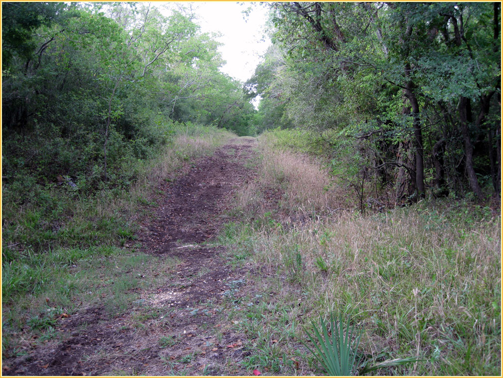
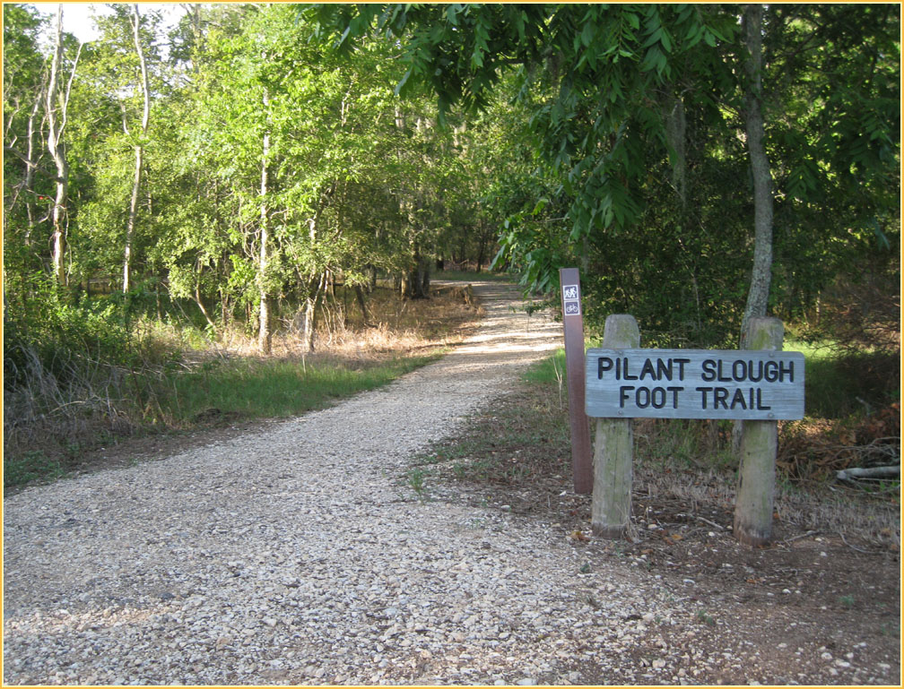
Brazos Bend State Park, approximately 28 miles southwest of Houston, covers roughly 5000 acres, with an eastern boundary of 3.2 miles fronting on the Brazos River on the southeast border of Fort Bend County. This was the area of Texas' first Anglo colonization. It was purchased by the state in 1976-77 and was opened to the public in 1984. Go here for the first hike Go here for Second Hike